The country between Meekatharra and Cape Range National Park in Western Australia’s Gascoyne region, although essentially flat and flint-dry, offers unexpected finds.
Story & photos by John Denman
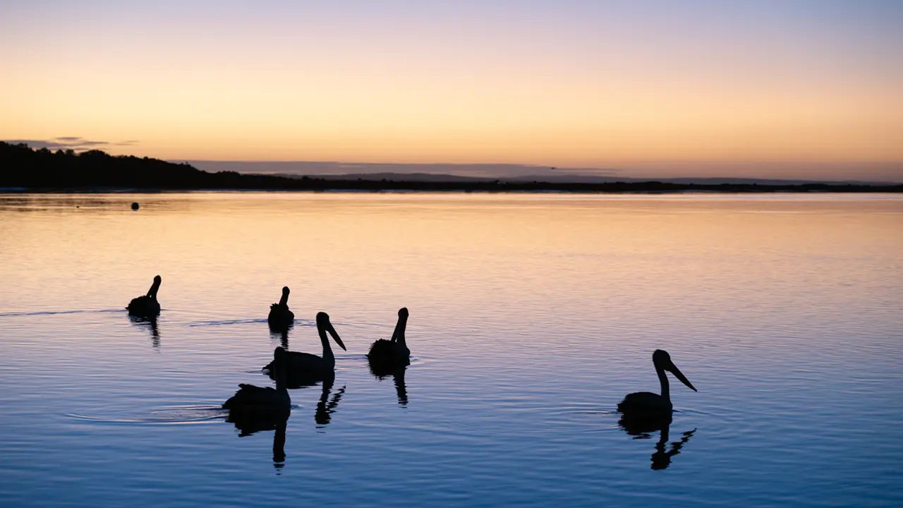
Sitting astride the Great Northern Highway, Meekatharra retains a gritty determination from its goldfields origins. Though not the place it once was, the townspeople believe that, in the future, golden prospects will come from tourism. To the east of Meekatharra is Wiluna, which is at the western end of the Gunbarrel Highway, the famous desert track that links the west to Yulara, in Central Australia. Looking west, the expanse of the Pilbara coast beckons some 855 kilometres away. This is dry country, a place where the rivers marked on the map run only after good rain – usually after a cyclone has swept across the stretch of coast between Exmouth and Carnarvon. Forty kilometres north of Meekatharra is an old drovers’ well, probably one of the few remaining wells along the old DeGrey-Mullewa Stock Route.
Seventy-four kilometres north of Meekatharra, a rough gravel road leaves the bitumen of the Great Northern Highway, plunging you into the characteristic deep red landscape of the Pilbara. The Gascoyne River cuts the track near Milgun Station, which boasts a 75km frontage to the Gascoyne, but for the most part it’s dry. Milgun manager Brian O’Dwyer stands on his verandah and looks over a familiar vista. “In a good season there’s no better country,” he says. “The big problem is that we don’t always get decent rain.” But when it does rain, as it did earlier this year with some 270 millimetres over three months, the ‘crabhole country’ around the Gascoyne River is covered with native grass.
This story excerpt is from Issue #48
Outback Magazine: Aug/Sept 2006