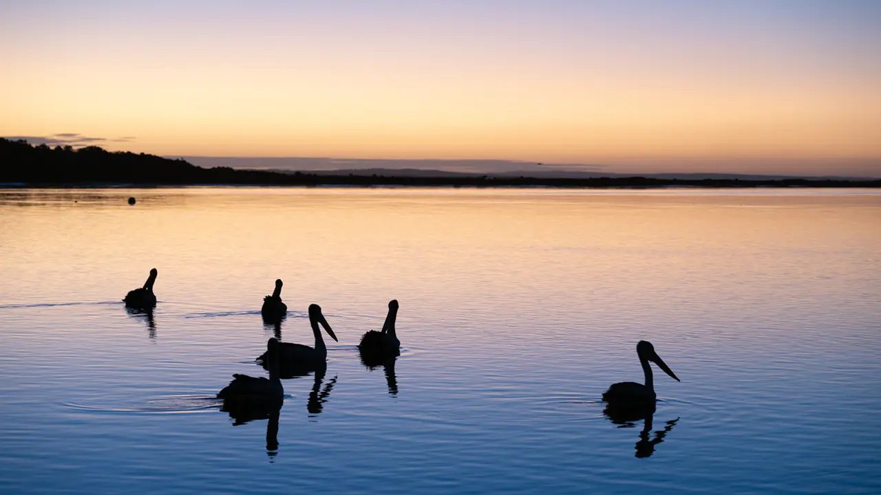
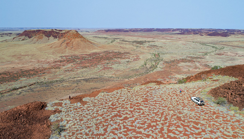
Mention the Pilbara, in Western Australia’s remote north, and most thoughts turn to mining, but this resource-rich region, set among stunning ancient landscapes, has plenty more to discover.
Story + Photos Mandy McKeesick
The Pilbara is big – big landscapes, big sky, big industry, big export numbers, big area. It sits due south of its more celebrated cousin, the Kimberley, and stretches from the Dampier Archipelago in the Indian Ocean east to the Great Sandy Desert on the Northern Territory border. At a touch over 500,000sq km, the Pilbara is more than twice the size of Victoria.
However the Pilbara’s one small statistic is its population. Victoria has a population density of 27 people per square kilometre, but the Pilbara’s 61,440 residents contribute to a density of 0.12. This means each Pilbara resident theoretically has about 800ha in which to roam without seeing another soul. Even adding the estimated 35,000 non-residential workers, who fly in and out of giant mines and construction sites, can’t lift the Pilbara’s population density above the NT (0.2).
Administration of this big but sparsely populated land falls to four local government areas: the shires of Ashburton and East Pilbara, the town of Port Hedland and the recently rebranded City of Karratha, which was formerly the Shire of Roebourne. Wealth is driven by industry. The Pilbara Economic Snapshot for March 2019 (produced by the Pilbara Development Commission) shows iron-ore production, alone, has a value of $60.2 billion, followed by oil and gas at $26.5 billion and construction at $8.9 billion. An increasing tourism trade brings in $413 million, while agriculture accounts for $111.5 million.
This story excerpt is from Issue #129
Outback Magazine: Feb/Mar 2020