Story By Don Fuchs
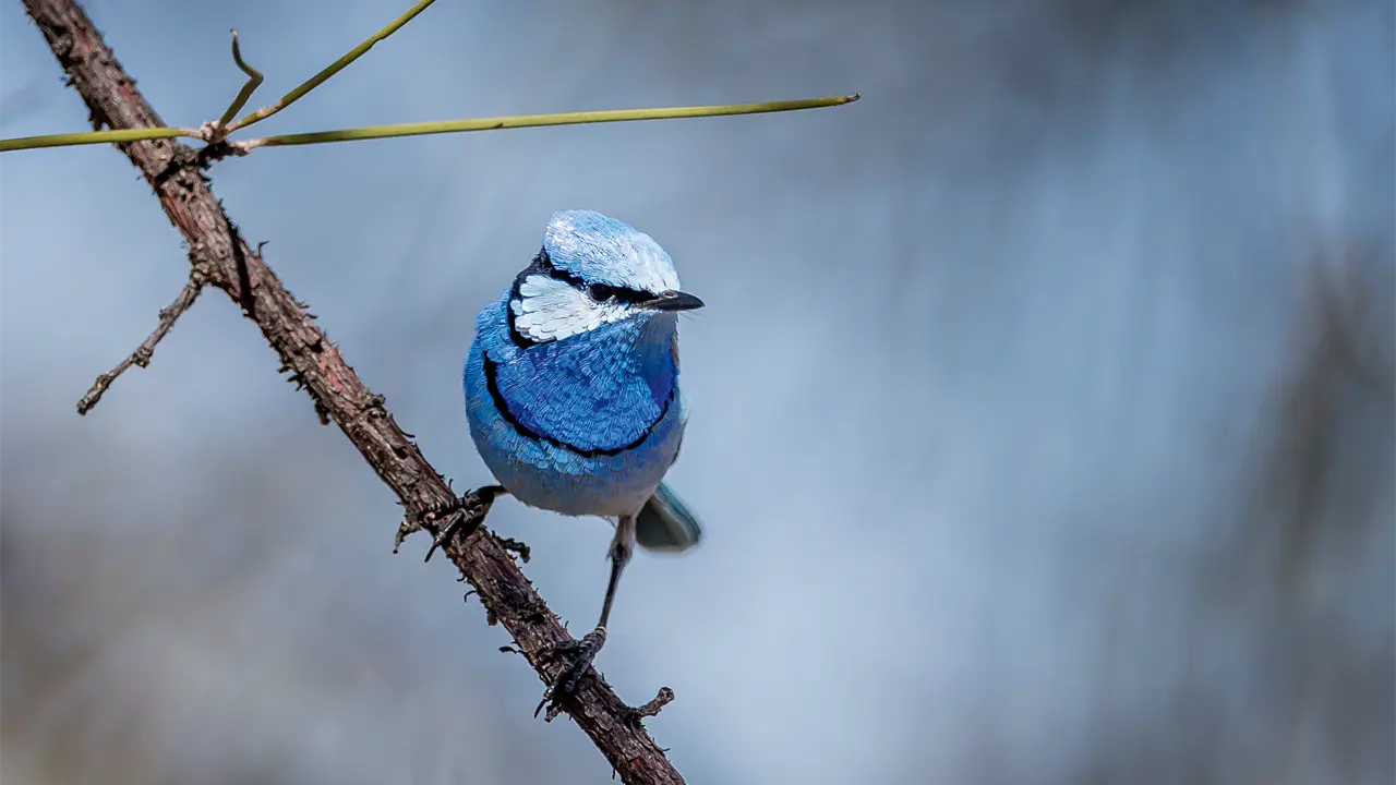
Cape York Peninsula in far north Queensland remains one of Australia’s last frontiers – amazing considering it was on the west coast of the peninsula that the first recorded landfall by Europeans took place. It was Dutch navigator Willem Janszoon who sailed by in 1606 on the Duyfken, landing and mapping 300 kilometres of coastline. Many things have changed since then but despite mining, agriculture and the construction of roads, large areas of the peninsula are still wilderness, so unspoiled that calls for the creation of a large world-heritage area are getting louder.
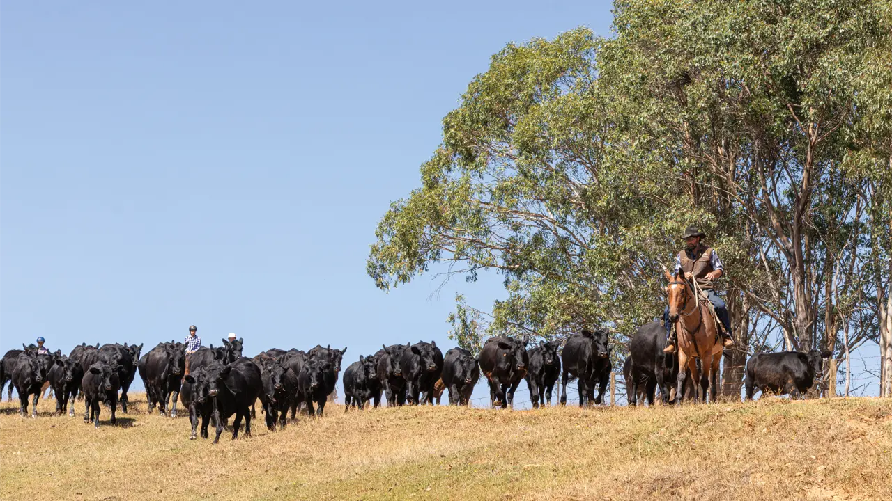
For many, the arduous 1500-kilometre trip from Cairns to the Cape is a pilgrimage to stand on Australia’s most northerly tip. The largely unsealed Peninsula Development Road and the rough Telegraph Road follow in the path of early explorers, gold prospectors and pastoralists. Months of dry heat are followed by tropical storms, cyclones and floods, isolating settlements.
The legendary road trip has recently become easier. After the widespread destruction by Cyclone Ingrid in 2005, a huge amount of money has been poured into infrastructure.The stretch from Cairns to Weipa offers no big challenges and the once-feared Jardine River crossing has long been defused by a barge. It is the Telegraph Road and, for those who dare, the Old Telegraph Track, that challenge motorists. Most of the treasures, however, lie away from the roads: prolific rock art near Laura, lily-clad billabongs and the savannah plains of Lakefield National Park and the lowland rainforest of the Iron Ranges.
This story excerpt is from Issue #57
Outback Magazine: Feb/Mar 2008