Take the Mallee Highway across South Australia and Victoria where proud, small communities offer a reminder of our pastoral and war history.
Story By John Dunn
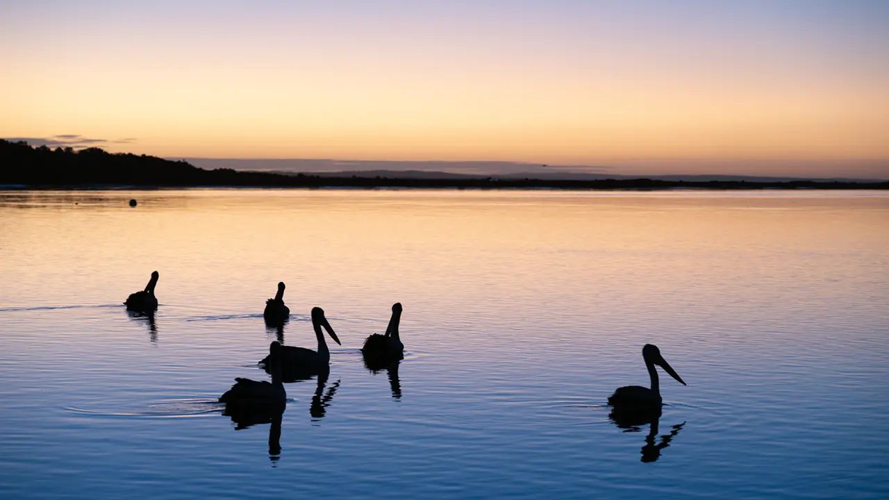
A trip from Tailem Bend to Tooleybuc has a lovely, rhythmic ring about it. It sounds good, and it is, because this is an unusual journey along a highway that begins by the Murray River in one state and finishes 500 kilometres later alongside the river again where it divides two other states.
Mallee is an Aboriginal word meaning “many stems” and given to a eucalypt, which grows with several stems from a common root and is prevalent in this area. The much maligned Mallee district extends widely on both sides of the highway. Early pastoralists struggled to tame a region characterised by sandy soils, low and erratic rainfall – with annual averages as low as 250 millimetres – searing summer temperatures and plagues of rabbits and dingoes. The farmers who succeeded the pastoralists had to cope with isolation, the ubiquitous cultivation-defying mallee stump and the usual rural problem of uncertain commodity returns.
“This is a landscape with no mountains, no forests and no significant rivers or streams,” says Colin Harris, a former director of biodiversity conservation in the South Australian Government. “Indeed the virtual absence of any surface drainage has, historically, made human occupation of the Mallee more than a little challenging.”
This story excerpt is from Issue #91
Outback Magazine: Oct/Nov 2013