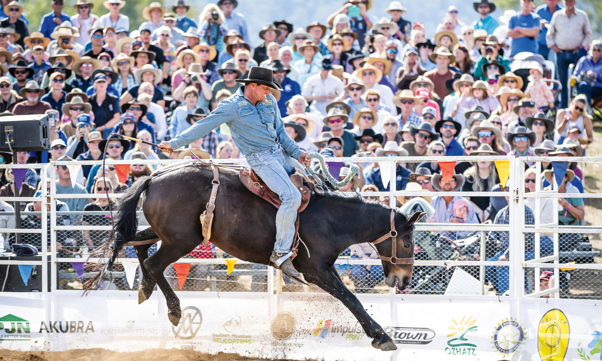
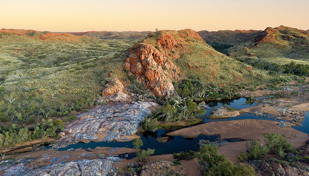
The Warlu Way explores the Pilbara’s fascinating geology, sapphire seas, deep gorges, red ranges, thriving mining communities and strong Aboriginal culture.
Story + Photos Don Fuchs
"When I’m feeling a bit off, I come out to the lookout,” says Emily Zimmerle, tourism and events manager with the Ngarluma Yindjibarndi Foundation in Roebourne, WA. She’s talking about Reader Head Lookout, near the Cossack ghost town, 14km north of Roebourne. Most of the defining elements of the Pilbara are visible from this lookout: its harsh but richly colourful beauty, a deep sense of history and the staggering industrialisation triggered by its enormous mineral wealth. Far below, the incoming tide pushes perfect sets of waves onto Settlers Beach. Out at sea lies Jarman Island, with its lighthouse. To the south, the mangrove-fringed Harding River flows from the hazy interior. Against this natural beauty, to the north, is the rust-coloured jetty of Port Walcott, one of the Pilbara’s three iron ore shipping ports.
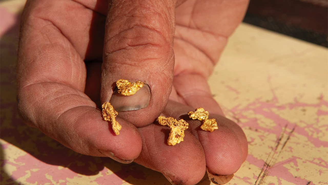
At almost 508,000sq km, the Pilbara forms a sizable chunk of WA. It is one of the oldest landmasses on Earth and its unusual geology is the basis of its extraordinary natural resources, as well as its natural grandeur. Four interconnected road trips – the Coastal Route, Inland Route, Manuwarra Red Dog Highway and the East Pilbara Geoheritage Route – comprise the Warlu Way, featuring some of the most beautiful scenery in the region.
This story excerpt is from Issue #145
Outback Magazine: October/November 2022