A new CSIRO report has once again opened debate about expanding agriculture in the north.
Story + Photos Nathan Dyer
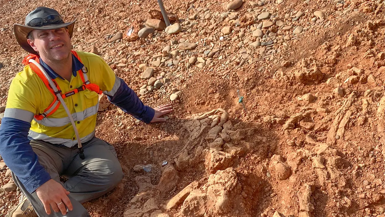
On a warm May afternoon, Seonaid Philips walks through waist-high spear grass on the edge of the Walsh River in Far North Queensland. The CSIRO research technician clambers over a rock outcrop and finds what she’s looking for. “This camera has been here since November, before last wet season,” Seonaid says, retrieving a small time-lapse camera from a tree overlooking the river, about 30 kilometres north-west of Chillagoe. “Hopefully it’ll give us a good record of how the river has changed during that period, the rise and fall of flood events, how fast that water moves, how much sediment and what sort of debris load it carries,” she says.
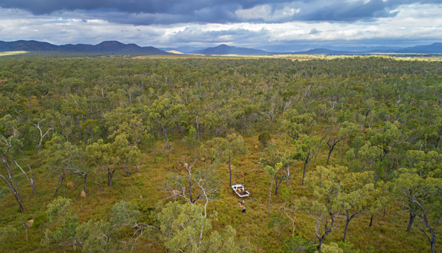
Seonaid was one of more than 100 contributors to the CSIRO’s landmark Northern Australia Water Resource Assessment (NAWRA). The two-and-a-half-year project, which included ecologists, hydrologists and soil scientists, covered the Fitzroy River catchment, WA, the Adelaide, Finniss, Mary and Wildman rivers between Darwin and Kakadu, NT, and the Mitchell River catchment, Qld. Almost 200,000 square kilometres was assessed in terms of land suitability, agriculture, surface and groundwater, Indigenous interests, water storage, ecology, economics and climate.
When released in September, the report created front-page headlines, with news that there’s potential to develop an additional 3700sq km of agricultural crops in northern Australia and 7100sq km of coastal land suitable for lined aquaculture ponds. If developed to their full potential, the land and water resources identified could generate an additional $5.3 billion in economic activity and create 15,000 new jobs.
This story excerpt is from Issue #122
Outback Magazine: December/January 2019