A 245km journey along the Gwydir offers riverside camping and insights into how we manage and use our natural resources.
Story + Photos Mandy McKeesick
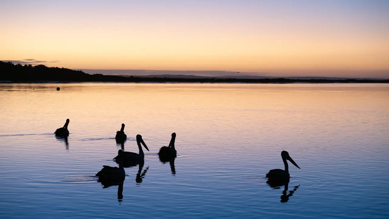
Once under the stewardship of the Gamilaraay people, the Gwydir is now regulated and manipulated. Unlike many rivers, it does not flow to the sea, nor empty into a larger watercourse. It is a river of tributaries and distributaries, branching and bifurcating as it flows west, terminating in wetlands west of Moree. Only on the back of a one-in-a-hundred-year flood does it make it to the Barwon River at Collarenebri to join the Murray–Darling system.
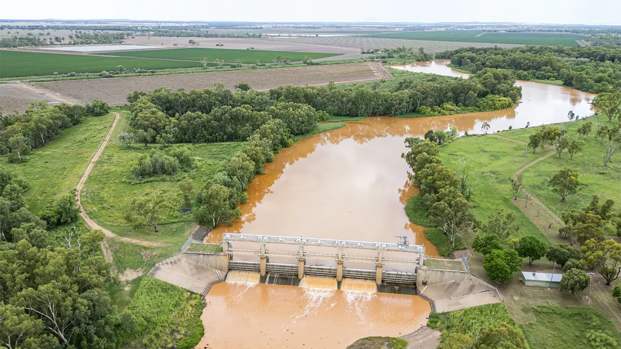
A run down the Gwydir from Yarrowyck to Copeton Dam and then Moree consists of 245km of easy driving on sealed country backroads. Access to Tareelaroi Weir or the Gwydir Wetlands (75km west of Moree) is via black soil roads that become impassable after rain, so check the weather forecast before venturing off the blacktop.
This story excerpt is from Issue #154
Outback Magazine: April/May 2024