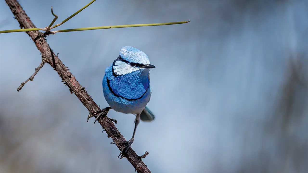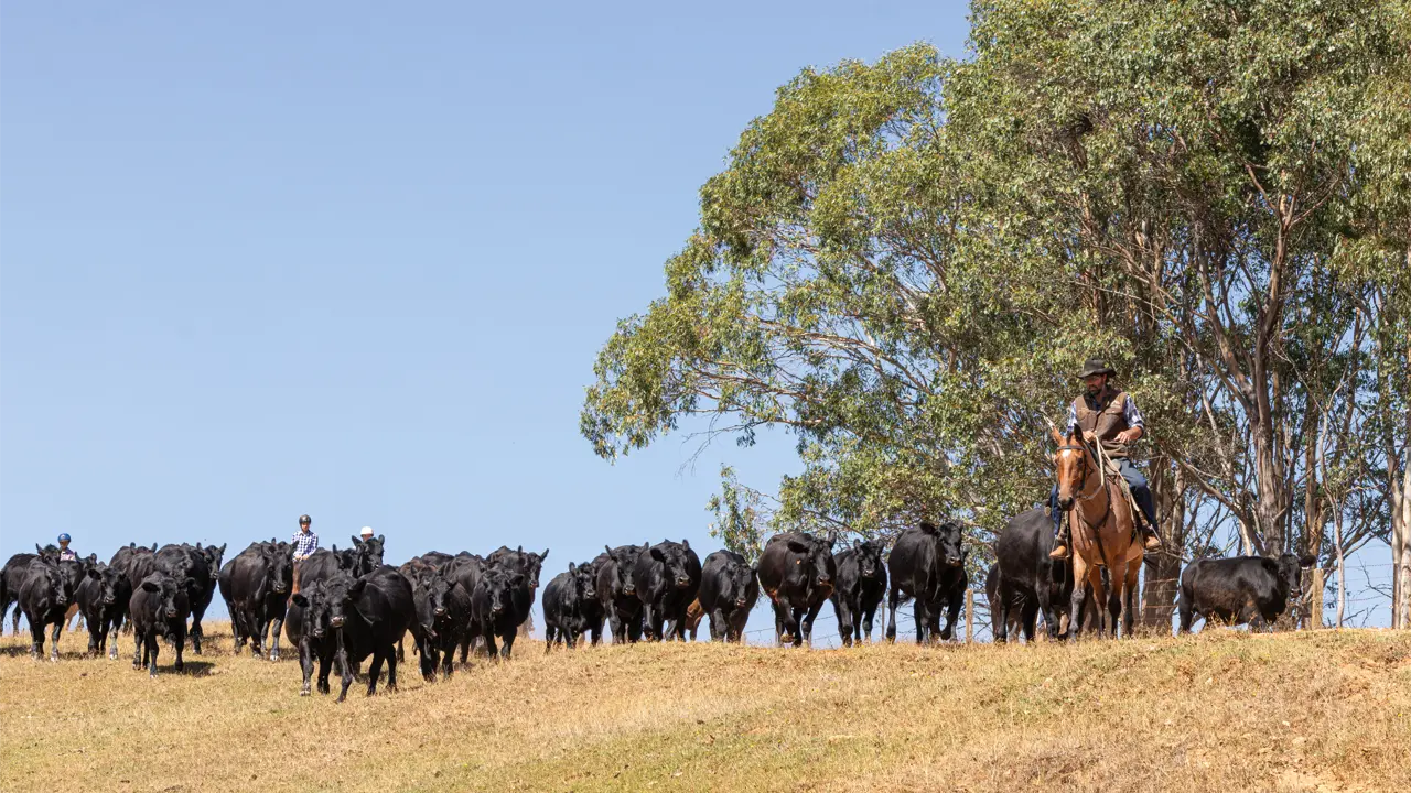
The drive from Cloncurry, Qld, to the Atherton Tableland via the Gulf of Carpentaria covers land largely given over to cattle, with the odd hardy soul and tourist thrown in.
Story By Don Fuchs
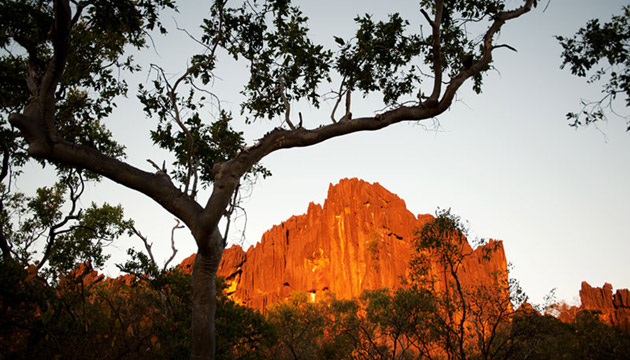
The Burke Developmental Road (BDR), although increasingly used by travellers, wasn’t originally designed as a tourist road. Starting in Cloncurry, in Queensland’s north-west, the road heads due north to Normanton, then arcs across the base of Cape York Peninsula and officially finishes in Dimbulah at the western end of the Atherton Tableland. The BDR leads through cattle country with large stations left and right. Herein lies its purpose: the road was first constructed to service the region’s beef industry, then to link remote communities to the outside world and to support mining in the area. Tourist attractions didn’t feature prominently in this plan. As a result, the experience of driving the BDR is not so much one of sightseeing, although there are some worthy attractions along the way, but one of driving a remote and, in sections, fairly rough road, experiencing the vastness and sparse beauty of the tropical savannah country. In many ways, the BDR accesses the real, gritty, neither airbrushed nor beautified, northern Queensland outback.
This story excerpt is from Issue #92
Outback Magazine: Dec/Jan 2014