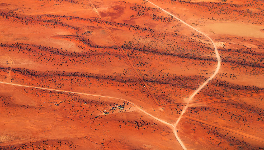
Although they’re just lines drawn in the sand, often right through communities, the past year has shown us that our borders – national and state – carry considerably more weight than we thought, particularly for those who live and work on them.
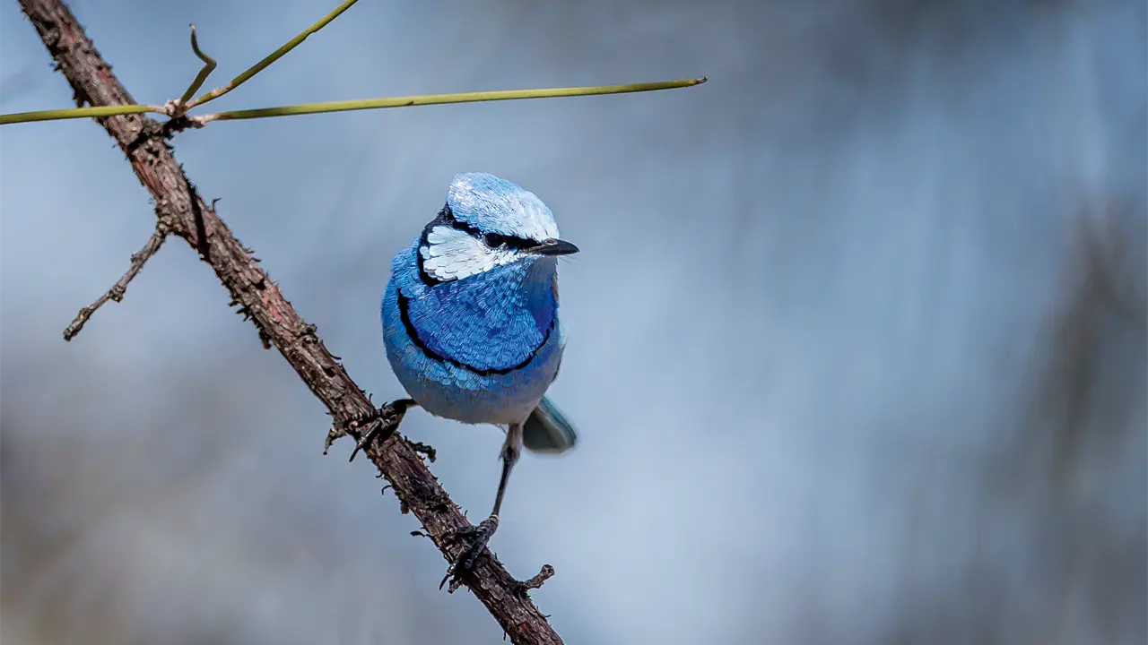
Story Ken Eastwood Photo Georgie Mann
Saibai Island, in the far north of Torres Strait, is barely more than a metre high at its highest point. And yet this island full of mangrove swamps and home to some 450 people is one of the only places in Australia where you can see another country. Papua New Guinea is just a 20-minute tinny ride to the north.
Since 1985, members of 14 Torres Strait communities and 13 communities in Papua New Guinea have been allowed to travel across this international border without a passport, conducting traditional activities as they have for thousands of years. They hop in dinghies and canoes to conduct trade in the other country, attend family ceremonies, or fish and hunt.
But last year, as the COVID-19 pandemic hit, this very soft, flexible border swung shut and all cross-border travel for traditional purposes was banned. They could see the border but couldn’t cross.
Up in Arnhem Land, Gove-based senior Border Force officer Carolyn McDonald is one of two officers looking after a stretch of coastline from the Queensland border to Maningrida. Most of her work is dealing with international ships that sail in and out of the Rio Tinto bauxite facility, but she also regularly joins Norforce on sea and land patrols for days at a time looking for illegal activity and foreign entry into Australia, and talking with remote communities. “We’re so close to Indonesia, and there are so many remote airstrips,” she says. “The remote communities here want to protect their borders as much as we do. They’re just as worried about drugs and guns as we are. And if COVID got into the Indigenous communities here it would be devastating.”
Carolyn says illegal fishing has dropped off in the past few years, perhaps partly as a result of the Defence Department’s Operation Resolute, in which up to 600 military personnel at any one time may be patrolling our maritime borders in patrol boats, Poseidon aircraft or on land. Flight Lieutenant Bradley McMaster is one such patroller, sitting for up to 10 hours at a time in the back of a Poseidon, surrounded by surveillance equipment, as it travels some 2000 nautical miles (3800km) per flight, looking for foreign military activity, illegal fishing or illegal entry into Australia. Bradley, 28, knew he wanted to join the Airforce from his school days, as he grew up on a cattle farm near Wingham, NSW, and says he is stoked to be able to use advanced electro-optic systems and radars to protect our borders. He’s a maritime patrol and response officer and about half his time is spent flying operations out of RAAF Base Learmonth, near Exmouth, WA, for Operation Resolute, in all weather and conditions. “We run the missions and coordinate all the information that the sensors feed us, and talk to the pilots so we can achieve our mission goal,” he says.
“I’ve done 700 hours of flying time on Resolute and the amount I’ve times I’ve found something of interest is only a couple,” he says. “Usually it’s just routine surveillance. To the squadron though, it’s our backyard, so this is the most important thing we do. It’s not always the most interesting thing we do, but it’s the most important.”
Internationally, we’ve done pretty well for ourselves. Our marine jurisdiction is one of the largest in the world and bigger than Australia’s total land area. It includes 8.2 million sq km off the Australian coastline and its territories, such as the Cocos (Keeling) Islands (which is 2800km off the Kimberley coast), and 2 million sq km off the Australian Antarctic Territory. In nine places Australia’s marine jurisdiction stretches beyond its 200 nautical mile economic exclusion zone, because the continental shelf reaches further out from the coast. Among other benefits, this has given our country access to multiple oil and gas reserves, sometimes extremely controversially. For example, in the Timor Sea, it would be expected that a border between Australia and Timor would have been set halfway between the countries, but due to Australia’s previous support of Indonesia, a generous agreement was made that drew a border very close to West Timor’s shoreline. When this border was being renegotiated with the independent Timor Leste in 2001 the Australian Government used ASIO to spy on the Timorese Government to ensure another favourable deal for Australia. This arrangement was changed in 2019 so that the major petroleum resources in the area are now exclusively in Timor Leste’s jurisdiction.
Australia’s state borders have been formed by a hotchpotch of odd conventions, political legacy and historical quirks. Apart from during sporting contests, these imaginary lines in the sand, marked occasionally by pegs, posts and pillars, have little value to many Australians and just seem to create bureaucratic nightmares, with different road rules, education systems and laws in every state and territory – something made all-too-obvious over the past year as states dealt differently with the COVID-19 pandemic. “We found out through this pandemic that the states have too much power – we’re over-governed to bloody buggery,” says Mungindi stock and station agent Peter Prosser, surely voicing the thoughts of many from his home on the NSW–Queensland border.
This story excerpt is from Issue #137
Outback Magazine: June/July 2021